Gas sign - Bob's Oil 524 Gateway Dr. All Service Gas Station.
Gateway and Old Mill St. Road.
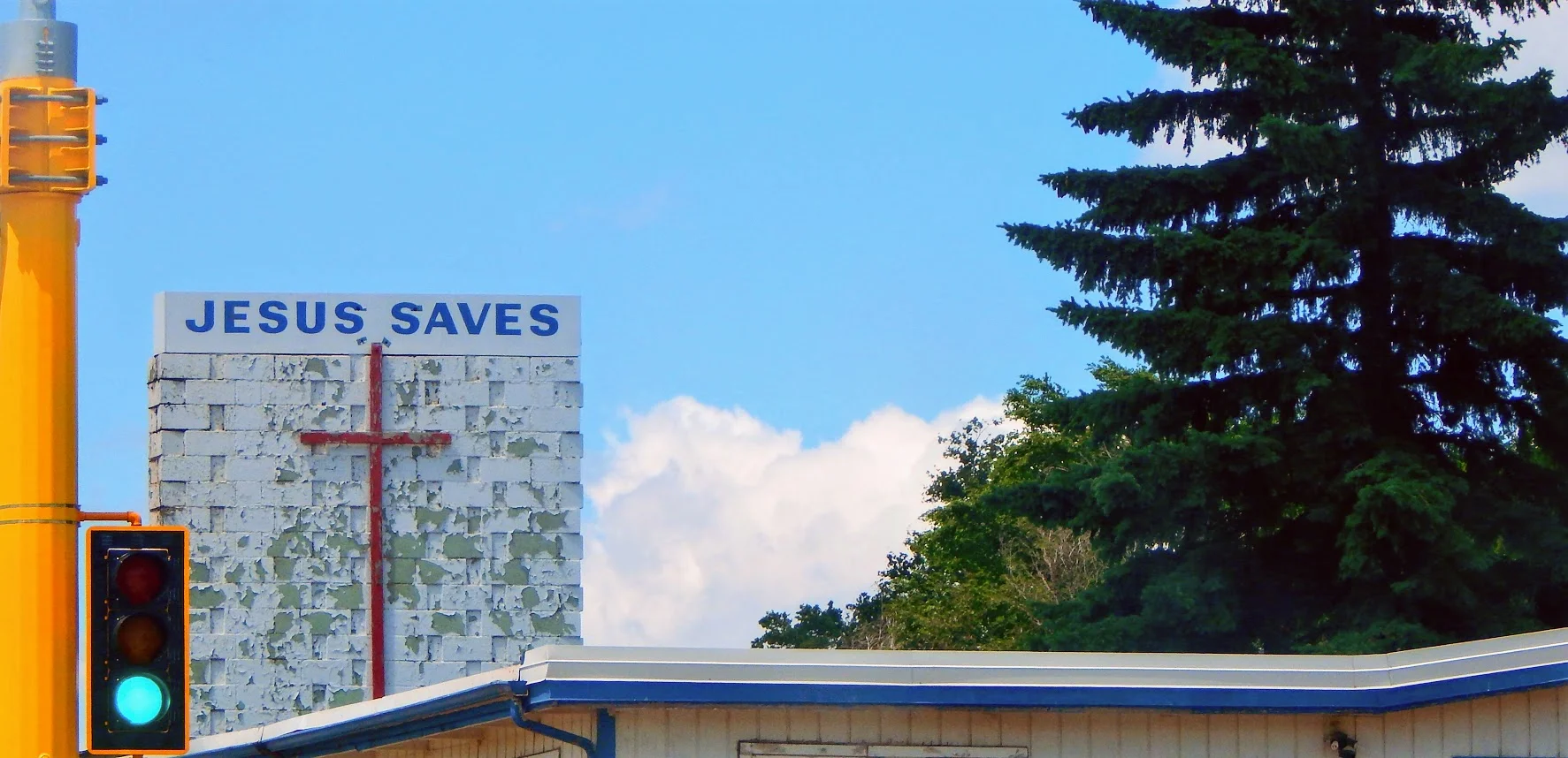
Jesus Saves: New Town, North Dakota
47.9808° N, 102.4902° W
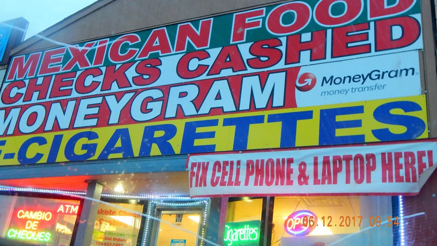
Cambio de Cheque: New Town, ND. Main St.
47.9808° N, 102.4902° W
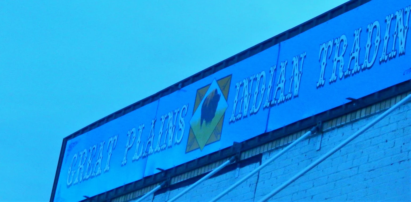
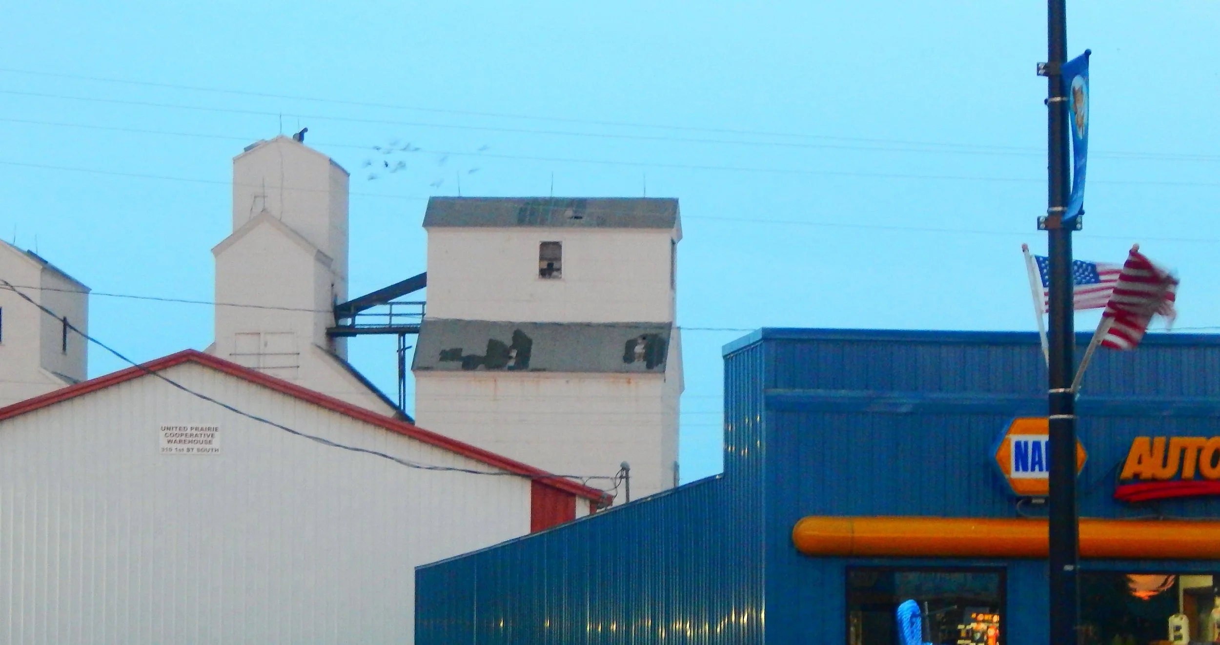
New Town Trading
Main St. New Town, ND.
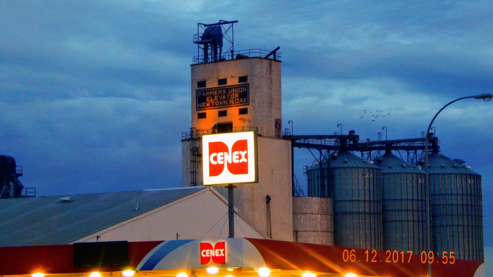
Cenex: New Town, ND. Main St.
47.9808° N, 102.4902° W
Main St: New Town, ND
47.9808° N, 102.4902° W
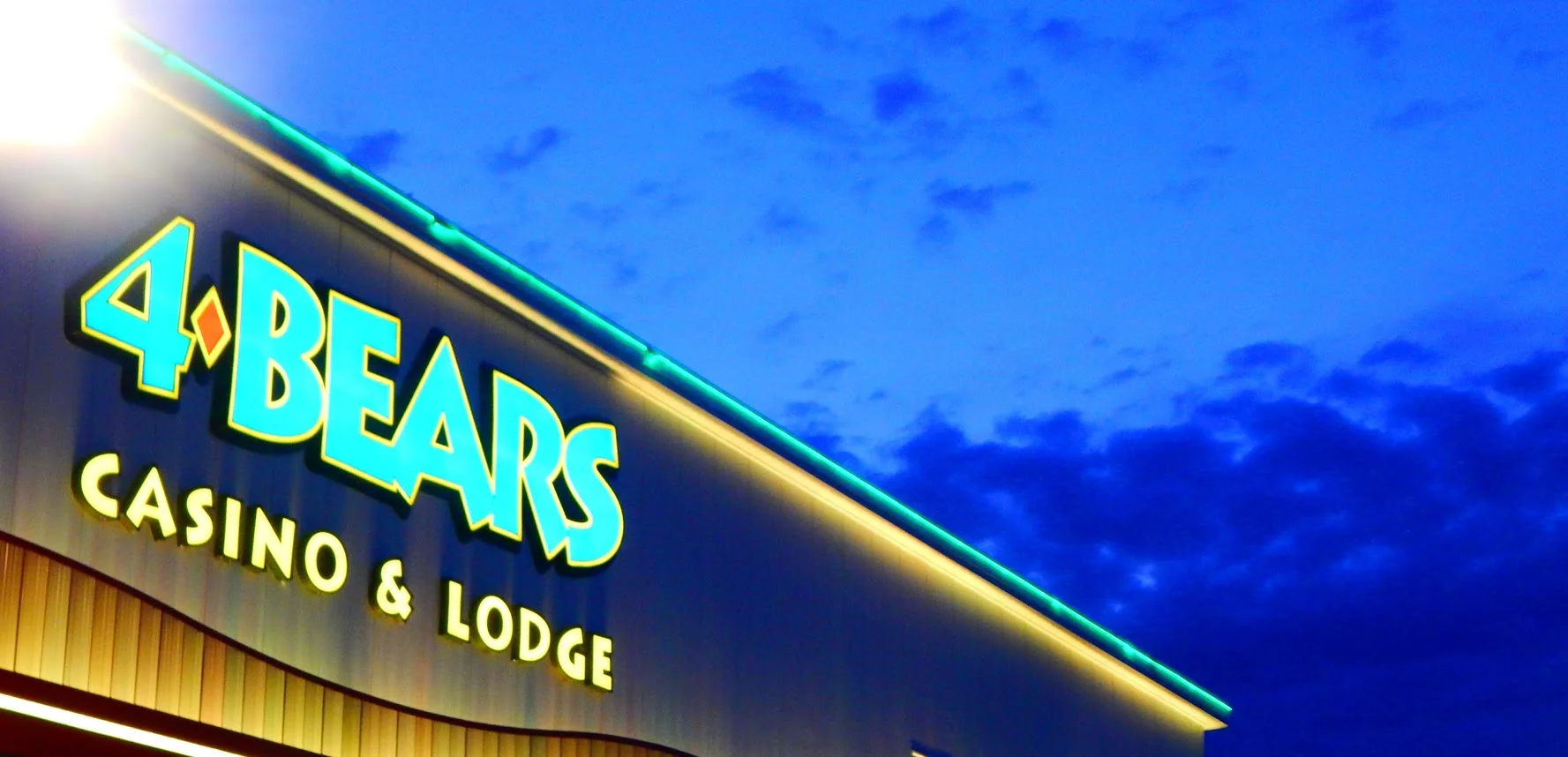
Four Bears Casino:202 Frontage Rd, New Town, ND 58763
47.9797° N, 102.5752° W
Two important chiefs each had the name “Four Bears.” One Mandan, and the other Hidatsa.
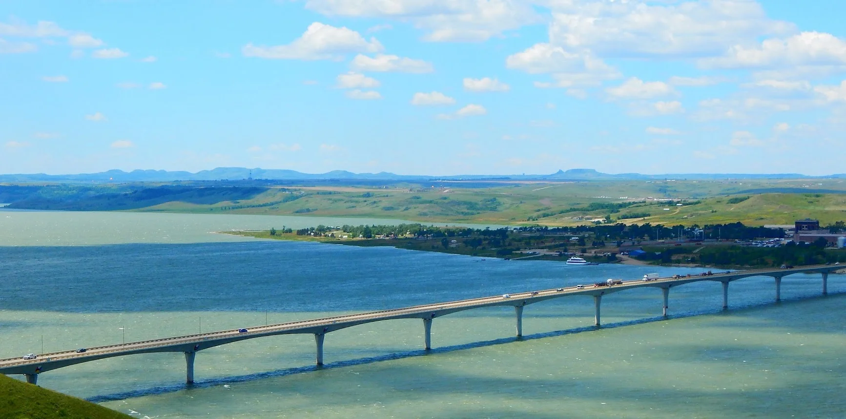
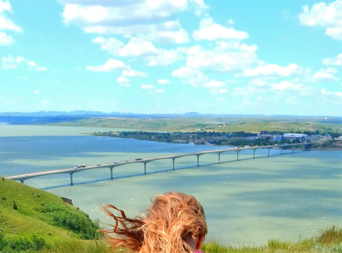
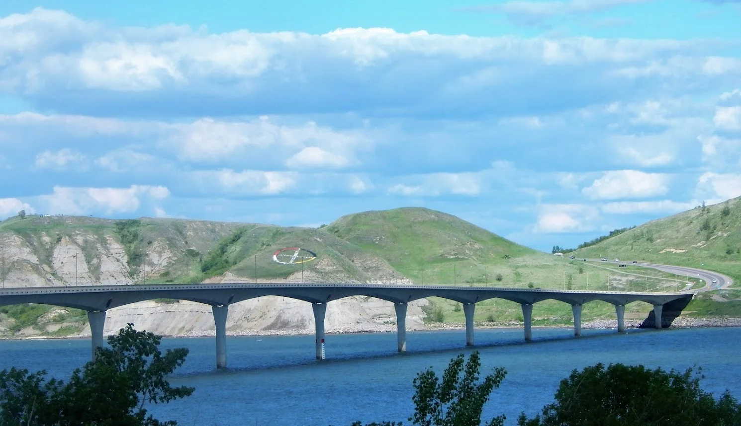
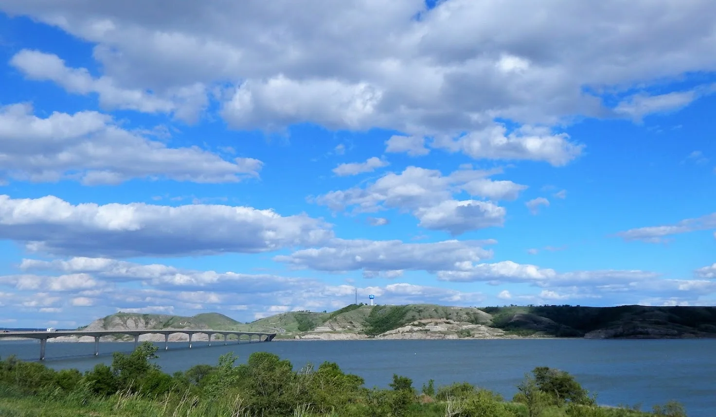
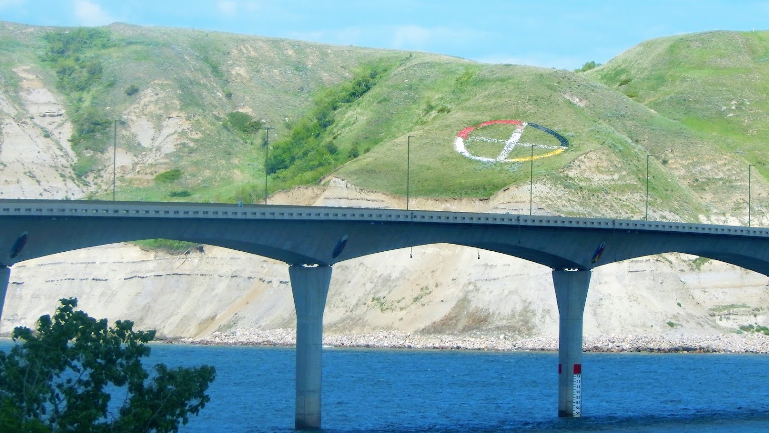
Four Bears Memorial Bridge
47.9797° N, 102.5614° W Four Bears Memorial Bridge. Built in 2005 on the Missouri River. Replaced old bridge built in 1955.
July 2017
New Town, ND 58763
New Town, ND: Main St.
Fort Berthold Reservation was set up by the U.S. Government in 1851 for Three Affiliated Tribes (the Mandan, Hidatsa, and Arikara Nation) by the U.S. government in 1851
When Garrison Dam was completed in the 1950’s, 155,00 acres of good farmland was permanently underwater.
New Town was built for the displaced citizens of the flooded towns of: Elbowoods, Sanish, and Van Hook.. Located on the East side of Lake Sakakawea . est. 1951
Four Bears spanning Lake Sakakawea.
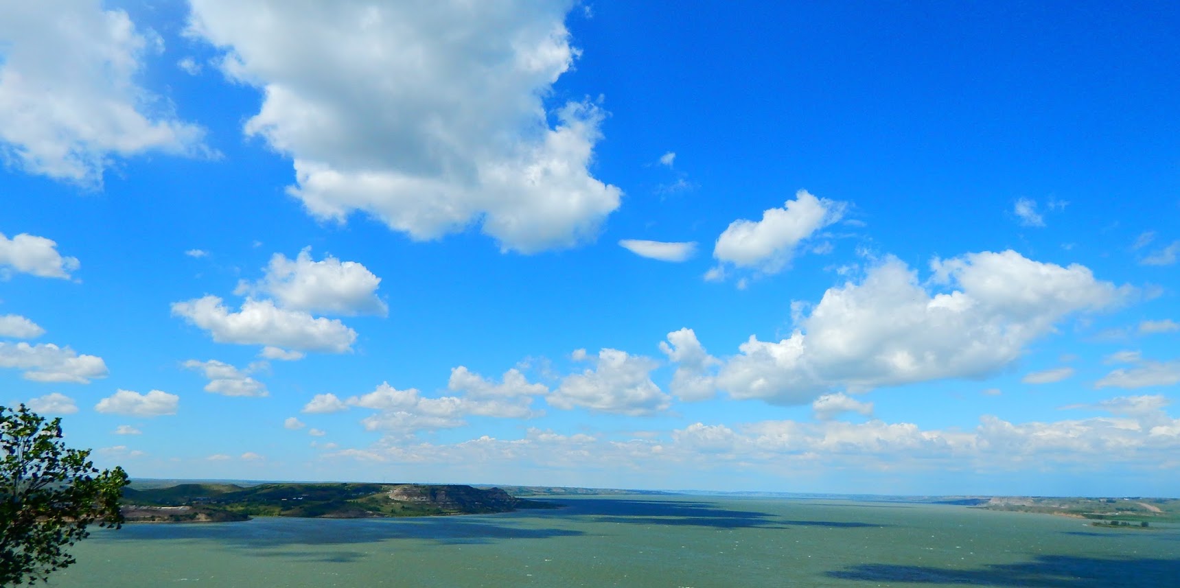
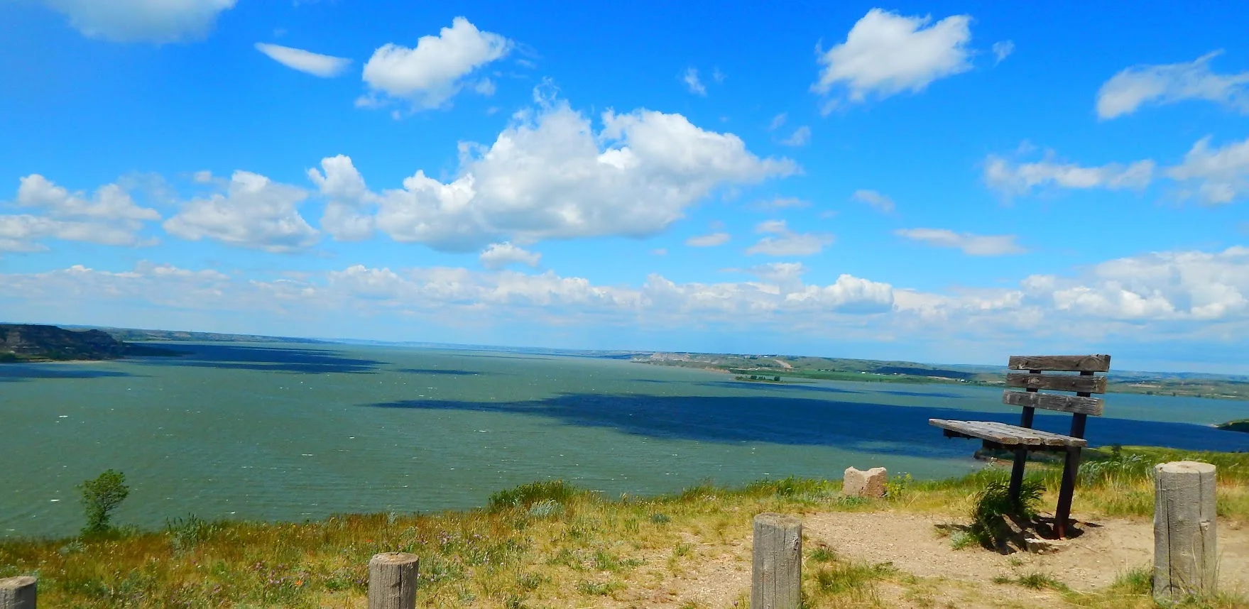
Looking West.
Lake Sakakawea
Lake created by Garrison Dam:200 miles long and ranges from 1 to 14 miles wide. The main part of the lake is from 70 to 175 feet deep, and the shoreline going around the lake is over 1,500 miles long. Third largest man made lake in North America.
47.7945° N, 102.3272° W
Four Bears Bridge 2005
47.9797° N, 102.5614° W